Script-Generated IF Maps
Posted: Mon 29 Dec 2014 11:09 am
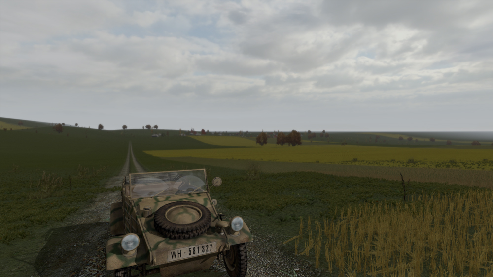
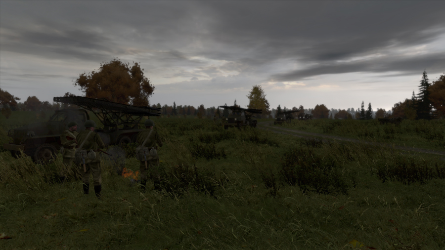
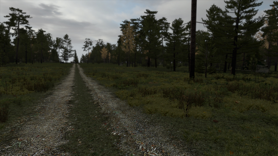
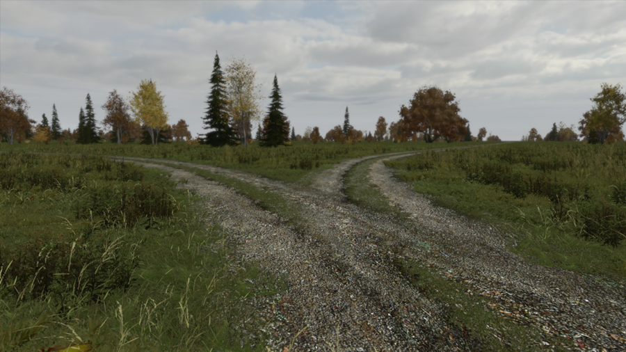
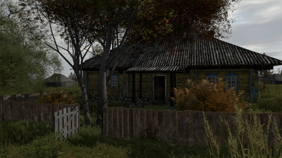
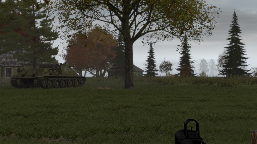
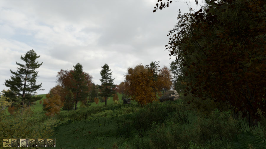
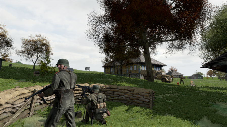
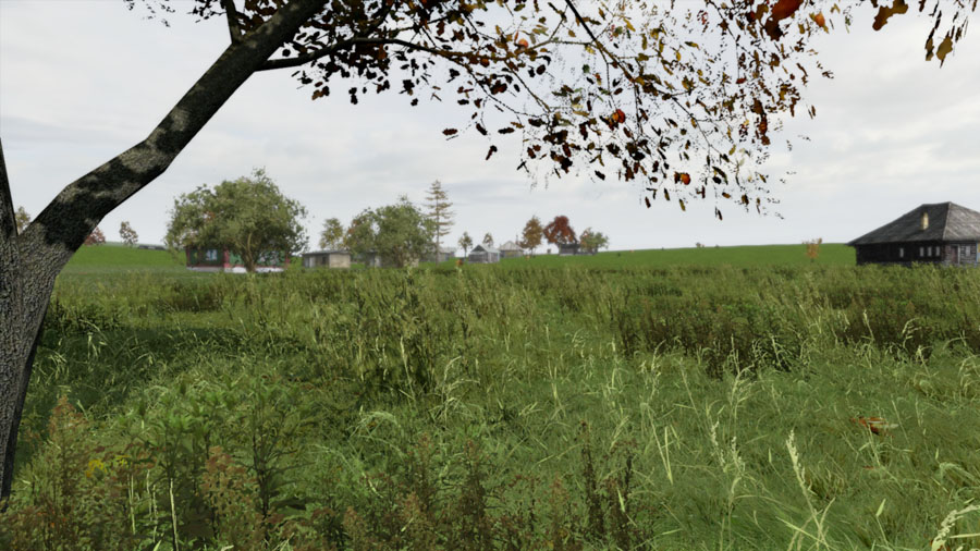
I have been busy developing a semi-automated method to generate small maps for use in Iron Front from IL-2/HSFX map terrain features. Below are three images taken from a 5 km x 5 km Iron Front map generated in about 5 minutes from a small rural portion of the Kiev_AP map in HSFX. The combat units, sandbags, campfire are not generated as part of the map - they are there for decoration. Everything else (terrain, trees, buildings, grass etc) is part of the map generation.
Spot the Tiger:
MG emplacement near houses:
Approaching the village:
As yet there is no real support for roads, bridges and water, but just about everything else is there for basic SEOW ground operations.
Cheers,
4S
Spot the Tiger:

MG emplacement near houses:

Approaching the village:

As yet there is no real support for roads, bridges and water, but just about everything else is there for basic SEOW ground operations.
Cheers,
4S
